On The Conversation UC PhD student Erin McEwan discusses her new research to determine how floods and earthquakes can occur at the same time.
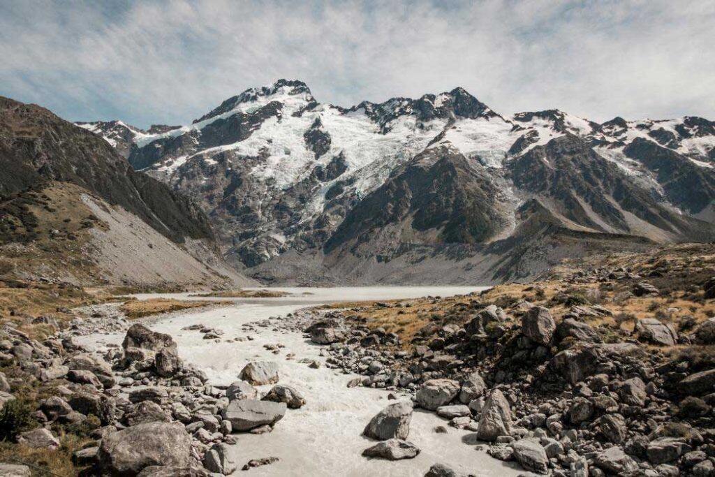

New Zealand’s 2016 Kaikōura earthquake stopped the Waiau Toa – also known as the Clarence River – in its course. Within hours, the river flooded outside its channel and changed course. In the seven years since the magnitude 7.8 earthquake, the river has completely abandoned the path it used to take.
This is not the first time this sort of thing has happened.
Flooding and earthquakes are some of the most frequent natural disasters globally. A great deal of work has been done to understand their risk – but relatively little to determine how they can occur at the same time.
This is a problem. Tens of thousands of active faults run under river channels around the world and in New Zealand. In places where faults and rivers intersect, earthquake and river flood hazards are also intertwined.
Our new research shows that when a fault deforms the earth’s surface, it can cause an overlying river to suddenly flood outside its established channel. This can put unsuspecting communities at risk.
In some cases, the sudden river shifts – also known as avulsion – may even cause the river to establish a new channel within the landscape.
There are many examples of this phenomenon throughout history, including the 1812 Reelfoot fault rupture, which dammed the mighty Mississippi river for several hours. The same earthquake also permanently dammed the Reelfoot river, creating Reelfoot Lake.
Earthquakes occur due to sudden movement on faults. When a fault ruptures to the surface, it can shift one side of the fault vertically past the other. This can cause a large block of land to be permanently uplifted or depressed.
Where faults run under rivers, this vertical movement can produce a fault scarp – a wall of rock and/or soil – that obstructs the river’s ability to continue flowing in its usual channel.
This is what happened in Kaikōura in 2016. The Papatea Fault ruptured and created a 6.5 meter high barrier within the channel of the Waiau Toa, stopping the river in its course and rapidly and permanently altering the path it takes.
But can we predict this sort of thing before it happens?
Forecasting shifts
Data from the Kaikōura earthquake offered an opportunity to test whether these sorts of shifts in river flows, and potential flooding, can be “forecast” in advance. Turns out, it might be possible.
We constructed two flood models that aimed to reproduce the Waiau Toa river shift. The first model used topographic data obtained following the 2016 Kaikōura earthquake, containing the real Papatea fault scarp. The second model simulated the avulsion using pre-earthquake topography, modified with an artificial Papatea fault scarp.
Both models performed well, and accurately reproduced patterns of flooding that took place in 2016. This indicates that changes in river flood patterns following surface rupturing earthquakes can be predicted ahead of time.
That said, it is impossible to predict the exact amount of surface displacement a fault may produce when it ruptures, or the exact river flow conditions when it does. Instead, flood modelling can be used to explore scenarios ahead of time using historical flow information and historic fault data.
Applying this to the Papatea fault rupture, we found that sudden shifts in the flow of the river may not immediately happen if the river is low.
Better planning
This is important, as it suggests that flooding could be delayed following a surface rupturing earthquake if the affected river is running low. Yet a river may still change course later, as the flow rate increases.
Creating flood models ahead of time may allow planners to identify key zones along the river that are exposed to this hazard. They can then put in measures that will reduce the impact of the flooding, such as levees.
New Zealand’s position atop a plate boundary means earthquakes are a common natural hazard. Flood hazards are also increasing in frequency and severity .
Kaikōura is not the only community that could be affected by the combination of earthquakes and flooding.
Many of New Zealand’s active faults underlie rivers located near populated areas, or critical infrastructure. Examples include the Wellington fault, which underlies the Hutt River, and the Titri fault and Taieri river intersection which borders Dunedin airport and several towns.
Yet we typically do not consider how these rivers may change following a surface rupturing earthquake, meaning nearby populations and infrastructure remain exposed and unprepared. The unique combination of earthquake and flooding is rarely considered in existing flood management strategies or earthquake response plans.
It is imperative that existing earthquake response plans consider the influence of active faults that underpin river systems. Current flood models that neglect their presence may underestimate the extent, longevity and patterns of flooding following earthquakes.
Our modelling provides a path forward. With some knowledge of fault location and rupture style, the interactions between surface rupturing earthquakes and river flood hazards can be explored ahead of time.
This article was originally published on The Conversation


